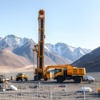


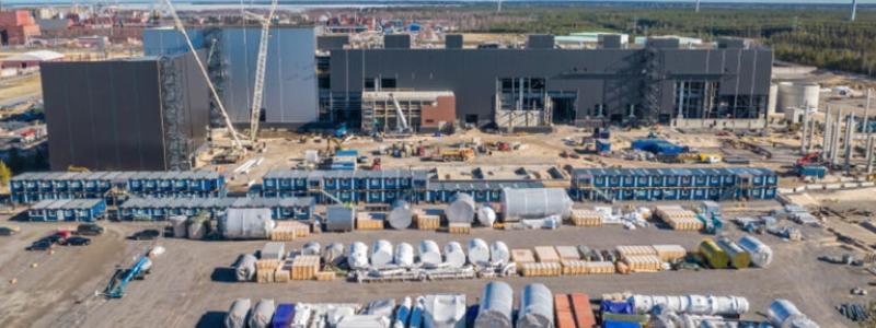
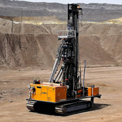
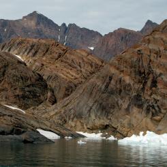
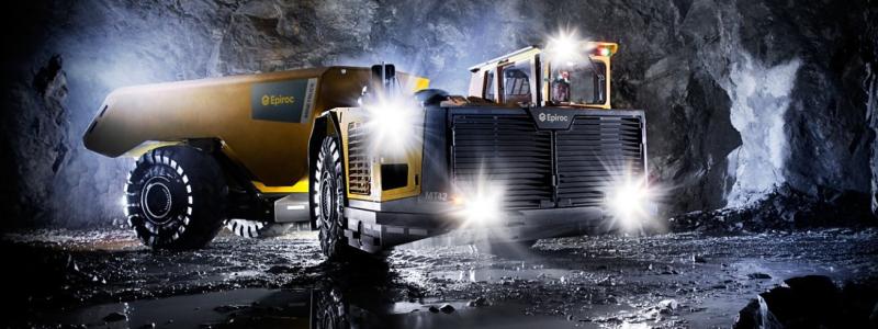
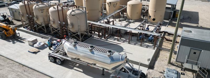
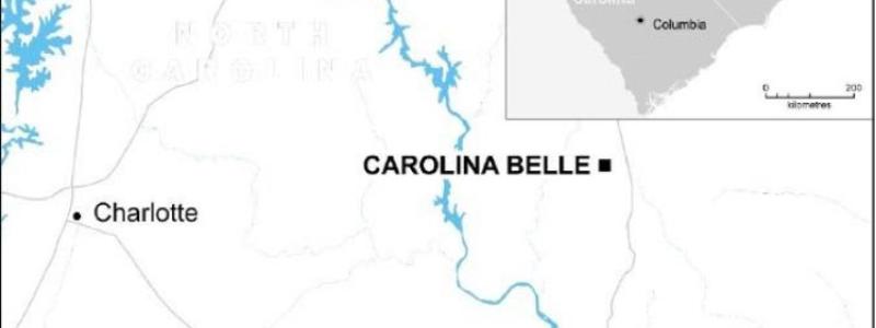
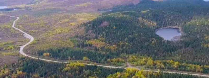
The Finnish Geological Research Center (GTK) started terrain investigations in the area of Evijärvi and Kruunupyy municipality in Finland. The surveys are linked to GTK's basic survey.
In connection with the terrain measurements, the mountain's magnetic properties and electrical conductivity are measured. With the help of these, more accurate assessments can be made of areas that have been marked out at a national survey that GTK carried out with flight measurements.
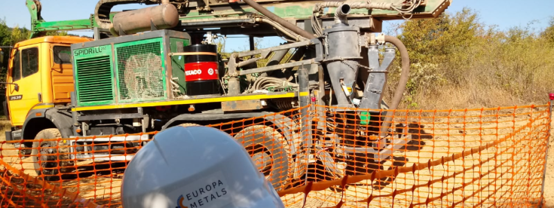
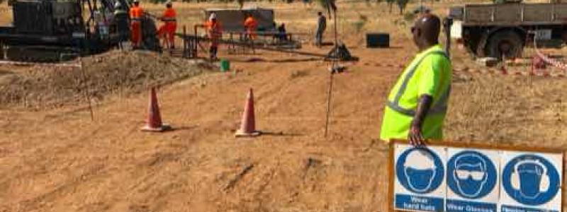
Those who perform the measurements move by foot or with skis in the terrain. The measurements are performed by following straight lines on the ground surface, without damaging the soil.
The purpose of the terrain work is to increase the basic knowledge of the geology of the area in order to better estimate the mineral potential in the area of investigation. In addition to geophysical measurements in the terrain, a basic survey is made of the bedrock and any other sampling during the summer. If the terrain measurements are informed to a greater extent before the actual field period begins.


![Schematic of a polymetallic nodule mining operation. From top to bottom, the three zoom-in panels illustrate the surface operation vessel, the midwater sediment plume, and the nodule collector operating on the seabed. The midwater plume comprises two stages: (i) the dynamic plume, in which the sediment-laden discharge water rapidly descends and dilutes to a neutral buoyancy depth, and (ii) the subsequent ambient plume that is advected by the ocean current and subject to background turbulence and settling.[1] Image: Wikipedia Commons, Kredit: Carlos Muñoz-Royo.](https://www.miningmetalnews.com/sites/default/files/styles/article_frontpage_small/public/media-cover-images/schematic-of-a-polymetallic-nodule-mining-operation-from-top-to-bottom-the-three_2_0.jpg?h=3df05eba&itok=fdvTZ2tH&u=1776673036)
![Schematic of a polymetallic nodule mining operation. From top to bottom, the three zoom-in panels illustrate the surface operation vessel, the midwater sediment plume, and the nodule collector operating on the seabed. The midwater plume comprises two stages: (i) the dynamic plume, in which the sediment-laden discharge water rapidly descends and dilutes to a neutral buoyancy depth, and (ii) the subsequent ambient plume that is advected by the ocean current and subject to background turbulence and settling.[1] Image: Wikipedia Commons, Kredit: Carlos Muñoz-Royo.](https://www.miningmetalnews.com/sites/default/files/styles/related_news_image/public/media-cover-images/schematic-of-a-polymetallic-nodule-mining-operation-from-top-to-bottom-the-three_2_0.jpg?h=3df05eba&itok=My_MmN9i&u=1776673036)


