


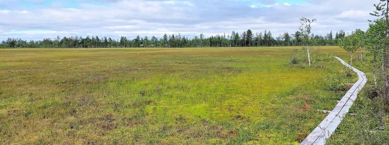
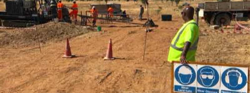
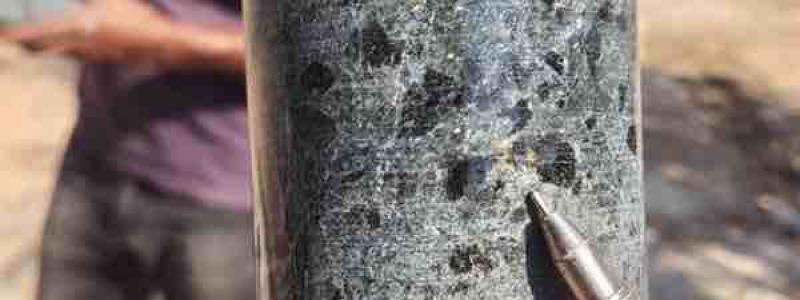
Greatland Gold recently announced that initial results from an extensive ground gravity survey at its Ernest Giles project in Western Australia have successfully highlighted additional targets for gold exploration throughout the project area.
A total of approximately 1,800 stations were used to collect over 360 line kilometres of gravity data across the Empress, Wishbone and greater Meadows area.
Good resolution images from the gravity survey were generated and are being systematically reviewed in conjunction with the detailed airborne magnetic data that was recently acquired (see announcement dated 22 May 2017.
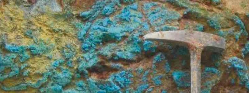
The Ernest Giles gold project is located in central Western Australia and covers an area of more than 1,800 square kilometres. The completion of the gravity survey follows on from recent significant developments at the project including the identification of two large zones of gold mineralisation, and an agreement with Newmont Exploration Pty Ltd, a subsidiary of Newmont Mining plc, one of the world's largest gold producers.
Gervaise Heddle, Chief Executive Officer, commented: "The data collected from this extensive gravity survey further highlights the potential of the Ernest Giles project to host several, very large, mineralised systems. This data, in conjunction with the recently acquired airborne magnetic data, previous soil sampling data and the data from the successful drilling campaign in late 2016, has outlined several additional gold targets in this new gold province where Greatland holds a dominant landholding and we believe this data set will prove to be an excellent tool for guiding future drill campaigns."


