![Schematic of a polymetallic nodule mining operation. From top to bottom, the three zoom-in panels illustrate the surface operation vessel, the midwater sediment plume, and the nodule collector operating on the seabed. The midwater plume comprises two stages: (i) the dynamic plume, in which the sediment-laden discharge water rapidly descends and dilutes to a neutral buoyancy depth, and (ii) the subsequent ambient plume that is advected by the ocean current and subject to background turbulence and settling.[1] Image: Wikipedia Commons, Kredit: Carlos Muñoz-Royo.](https://www.miningmetalnews.com/sites/default/files/styles/article_header_slider/public/media-cover-images/schematic-of-a-polymetallic-nodule-mining-operation-from-top-to-bottom-the-three_2_0.jpg?h=3df05eba&itok=Jb7SdvhM&u=1776673036)


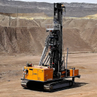
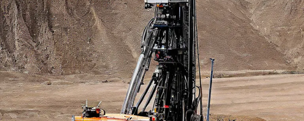
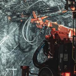
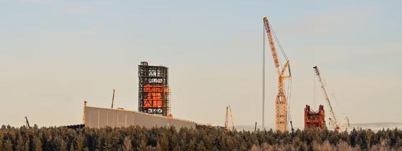
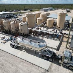
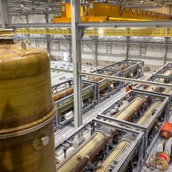
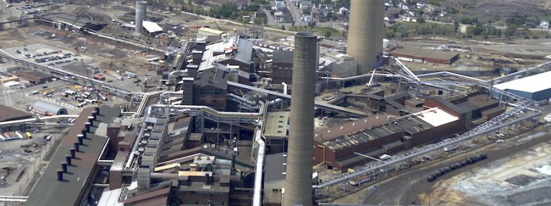
Geoscience BC recently announced its latest aerial survey to identify hidden mineral potential in north central and northeastern British Columbia.
Called Search Phase III, the survey will use helicopters fitted with magnetic sensors to build a better understanding of geology in the area. Once complete, project information will be made publicly available to help communities, First Nations, the resource sector and government to make informed decisions about responsible development and investment in BC. This includes helping explorers to decide where to focus their mining efforts which will eventually lead to on-the-ground exploration activities, job creation and stimulate regional economic activity.
The news comes during BC Mining Week, which has shown that the British Columbia’s mining sector is increasingly positive. On Tuesday (May 16), PwC published its latest annual mining report noting that “the industry is cautiously optimistic”1.
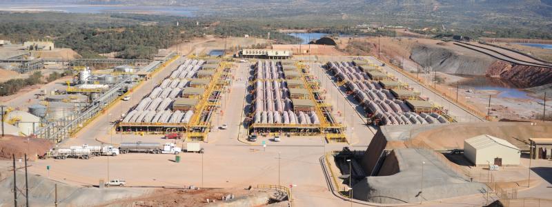
Search Phase III covers approximately 9,600 km2 – an area approximately the same size as Haida Gwaii. Final details are yet to be confirmed, but it is proposed to cover a remote area that includes AuRico Metals Inc’s Kemess Underground Mine Project, which recently received an Environmental Assessment Certificate.
Commenting on the announcement, Geoscience BC Vice President of Minerals and Mining Bruce Madu said: “Experts are certain that there are undiscovered mineral deposits in this area of British Columbia. Conducting this research and making the data open to everyone allows more informed decisions to be made. It encourages targeted and responsible development in the future.”
The project is funded in part by Northern Development Initiative Trust’s Economic Development Infrastructure program with a $125,000 grant. “We are pleased to be a partner in this project,” says Northern Development CEO, Joel McKay. “Studies like this are invaluable for providing regional data that help with informed resource management decision making and identification of new economic opportunities for the entire region.”
Geoscience BC is an independent, non-profit organization that generates earth science information in collaboration with First Nations, local communities, governments, academia and the resource sector.
![Schematic of a polymetallic nodule mining operation. From top to bottom, the three zoom-in panels illustrate the surface operation vessel, the midwater sediment plume, and the nodule collector operating on the seabed. The midwater plume comprises two stages: (i) the dynamic plume, in which the sediment-laden discharge water rapidly descends and dilutes to a neutral buoyancy depth, and (ii) the subsequent ambient plume that is advected by the ocean current and subject to background turbulence and settling.[1] Image: Wikipedia Commons, Kredit: Carlos Muñoz-Royo.](https://www.miningmetalnews.com/sites/default/files/styles/article_frontpage_small/public/media-cover-images/schematic-of-a-polymetallic-nodule-mining-operation-from-top-to-bottom-the-three_2_0.jpg?h=3df05eba&itok=fdvTZ2tH&u=1776673036)


